October 24, 2015 - Round Trip to Johnson City, TN
|
|
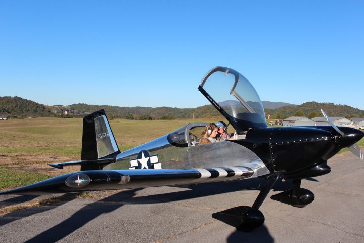
This Sunday afternoon I was flying down to Johnson City, Tennessee to stay with my parents for the week. It's a trip perfect for the RV. Instead of a mind-numbing seven hour drive, I'm there in a fun two and a half hours. OK, I'm not including a 40-minute drive to the airport, and another 30 minutes to get the plane ready. They don't count.
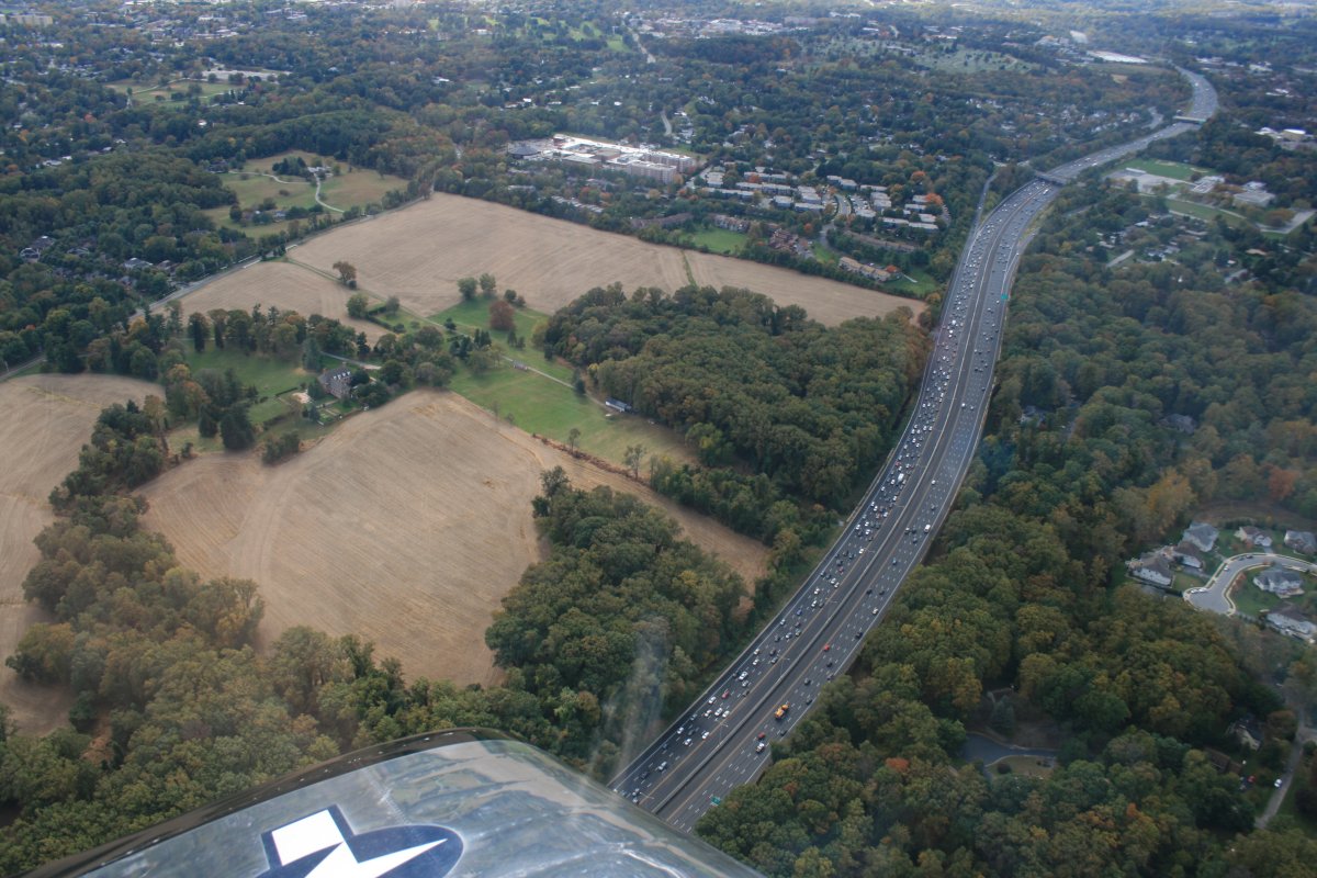
Here, I have just crossed Baltimore and am passing the Baltimore beltway. But of more interest, check out that mansion surrounded by fields to the left. Not too bad!
|
| |
 |
|
|
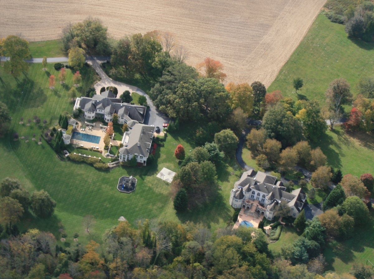
A couple of other mansions -- or should I say Chateauxs? -- in the Baltmore area.
|
| |
 |
|
|
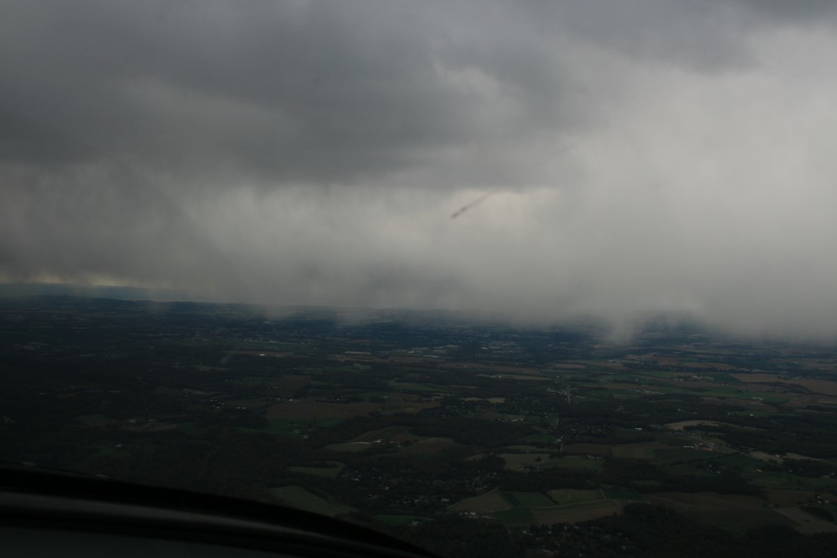
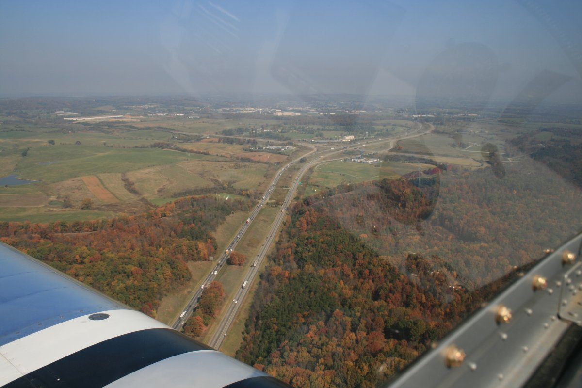
I had planned to stop at Martin State Airport to gas up, but as soon as I was airborne, I could see a big rain cell almost on top of Martin State. Then the control tower came on the radio and announced they had a 30 knot crosswind. Time to change the plan. I bypassed Martin State and stopped at Carroll County airport -- where there was no rain cell and winds were light -- for gas. Which was only a few cents per gallon more than Martin State so it worked out.
Near Frederick, I passed another rain cell. I flew on the outer edge of this one and for a brief moment it was snowing.
I should mention that none of this weather was in my weather brief or the forecast, which basically said everything was sunny and pleasant.
|
| |
 |
|
|
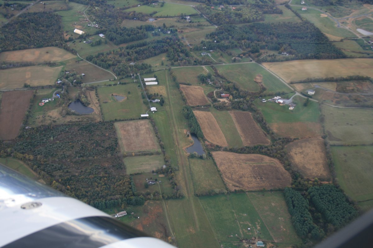
Passing overhead the Flying Cow airport where I spent so much time flying gliders.
|
| |
 |
|
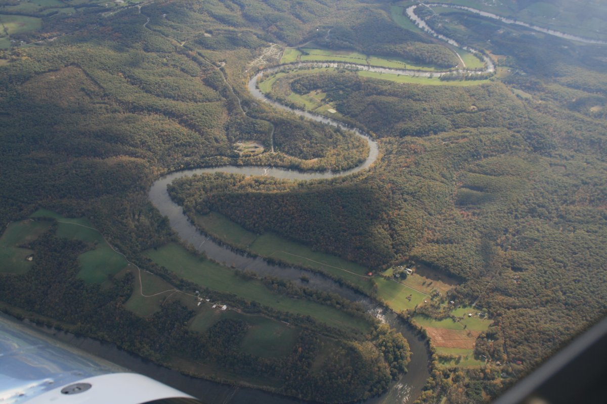
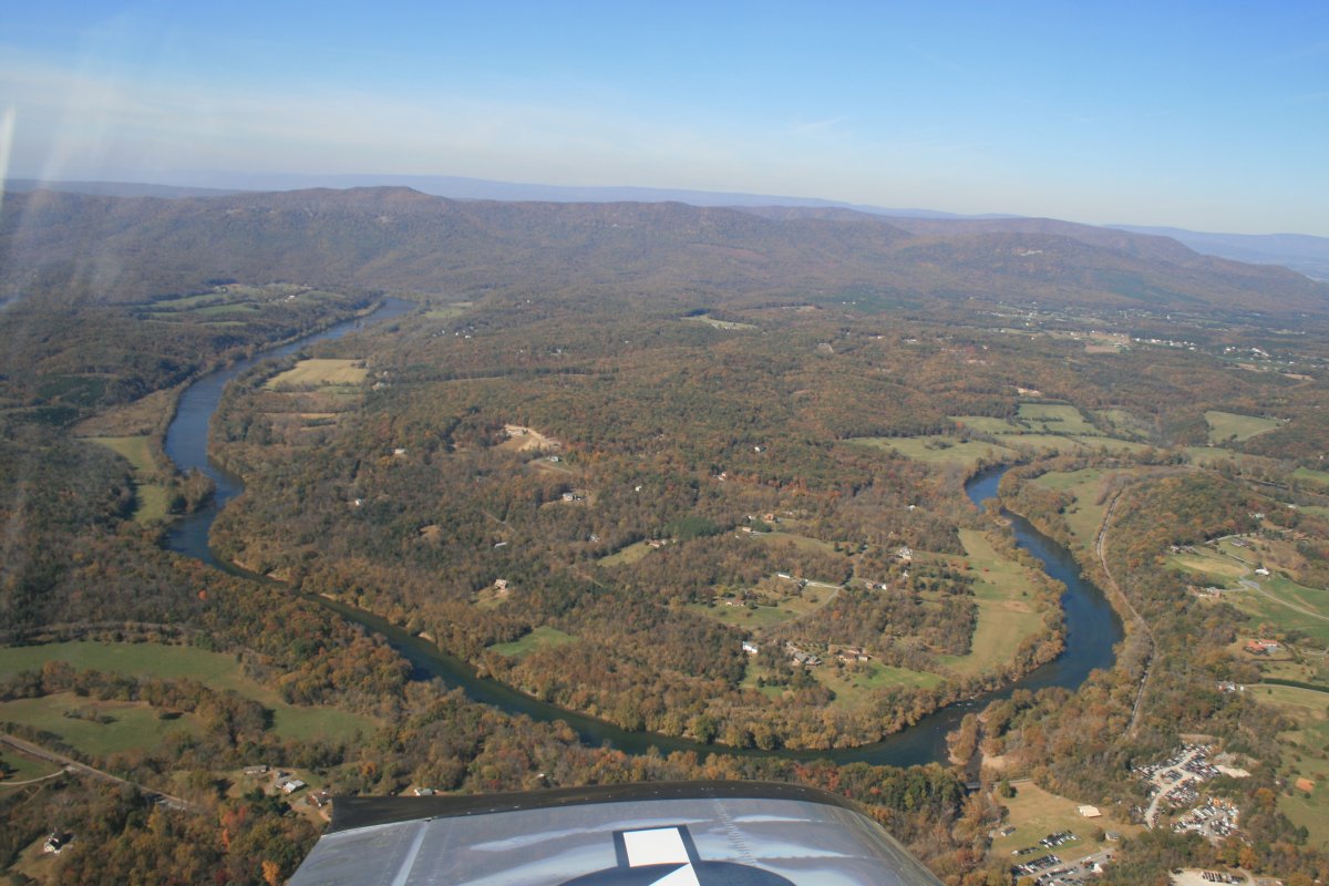
| The Shenandoah River winds its way southwest. |
| |
 |
|
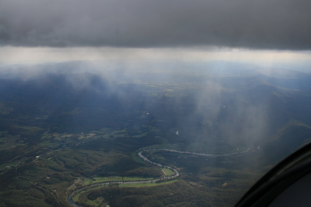
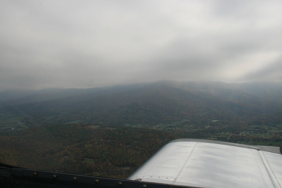
| I had to duck under this band of low overcast. |
| |
 |
|
| The clouds finally started breaking up in the lower Shenandoah Valley. |
| |
 |
|
|
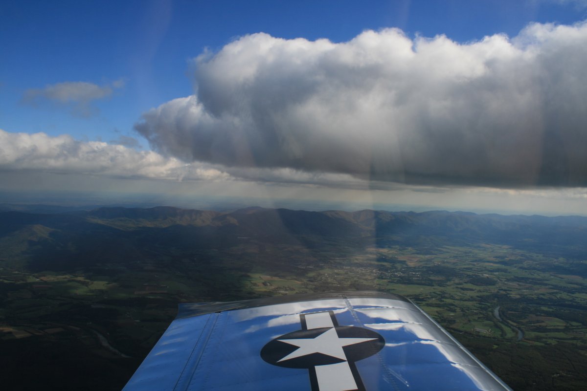
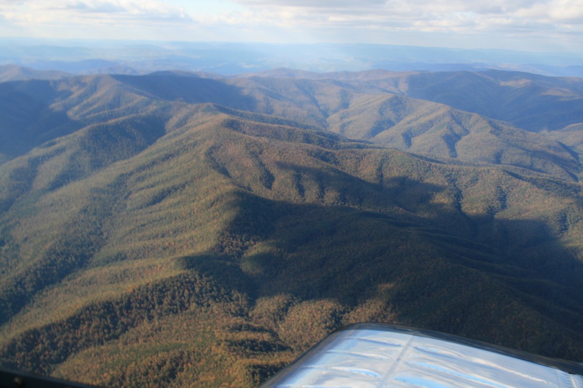
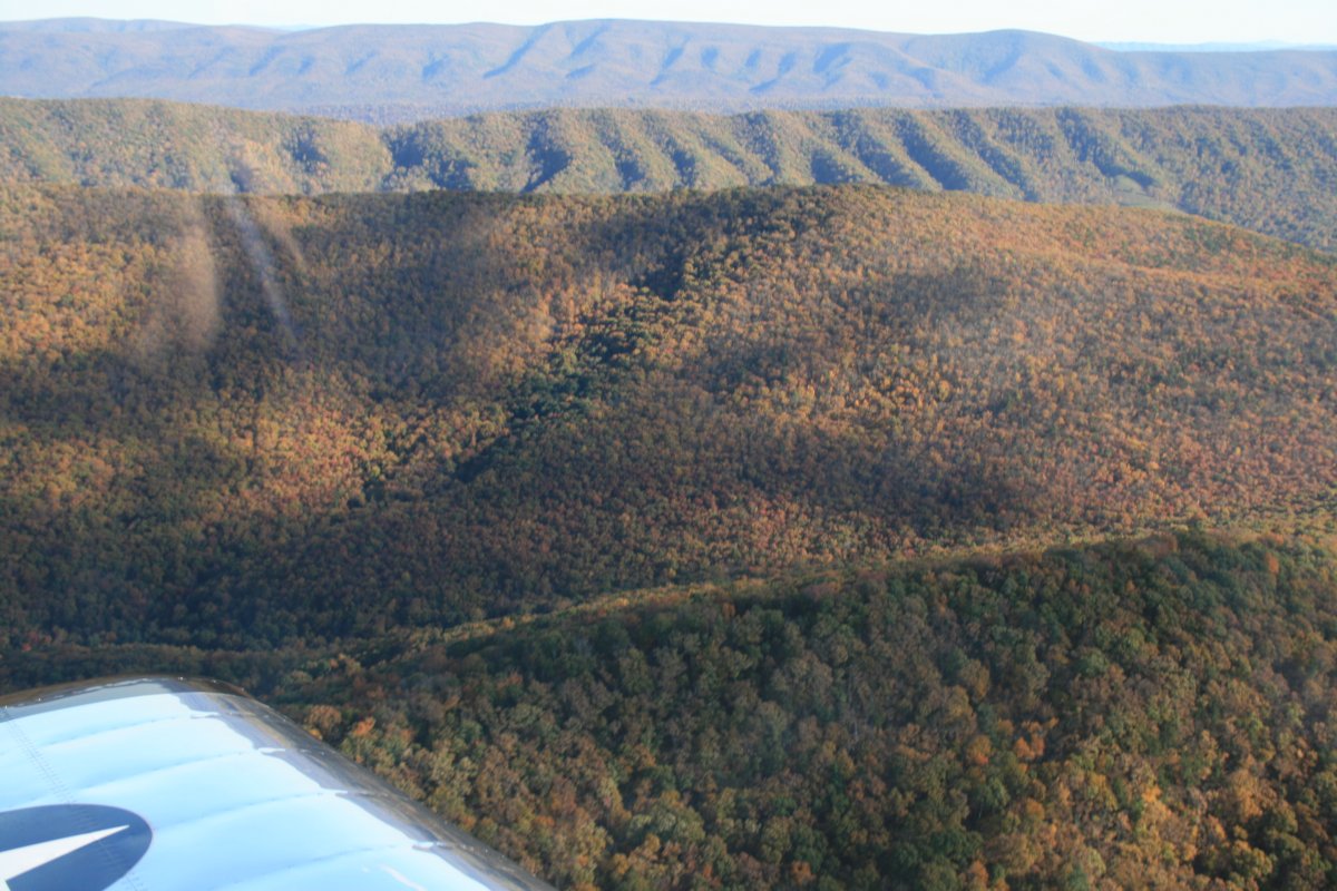
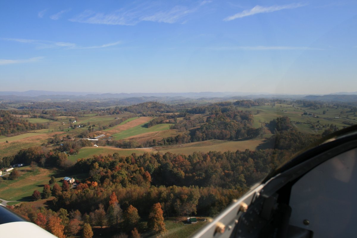
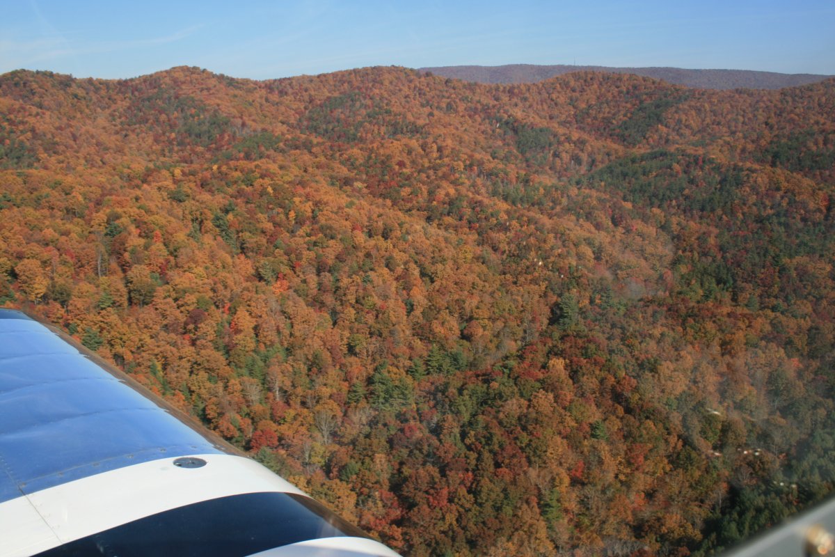
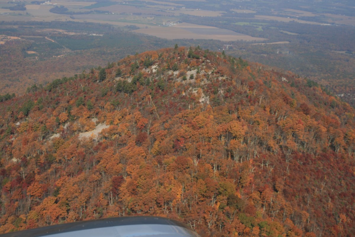
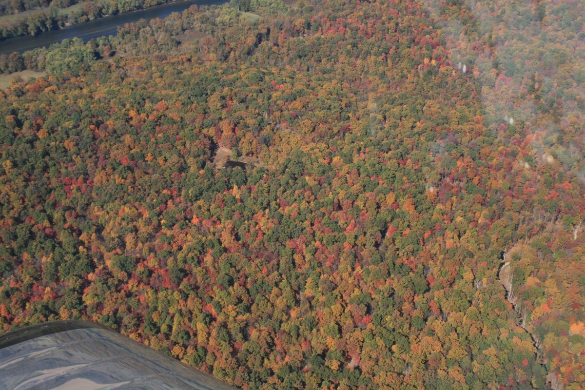
Looking northwest at lots of tree-covered mountains. Not much color yet though.
|
| |
 |
|
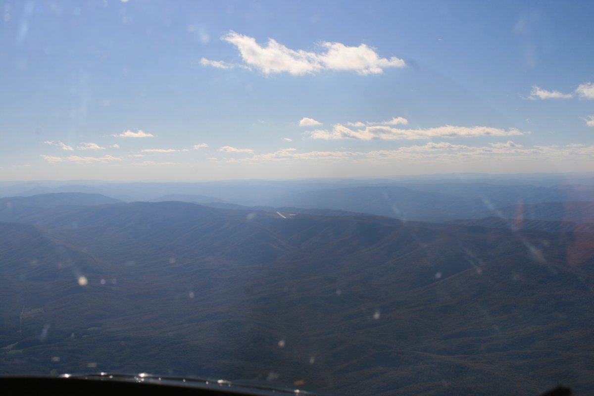
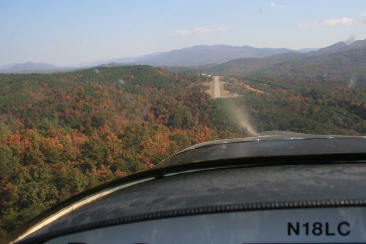
| Straight ahead, out in the middle of nowhere, you can see a little diagonal bar. That is Ingalls Field Airport (KHSP) located near the small town of Hot Springs, Virginia. |
| |
 |
|
|
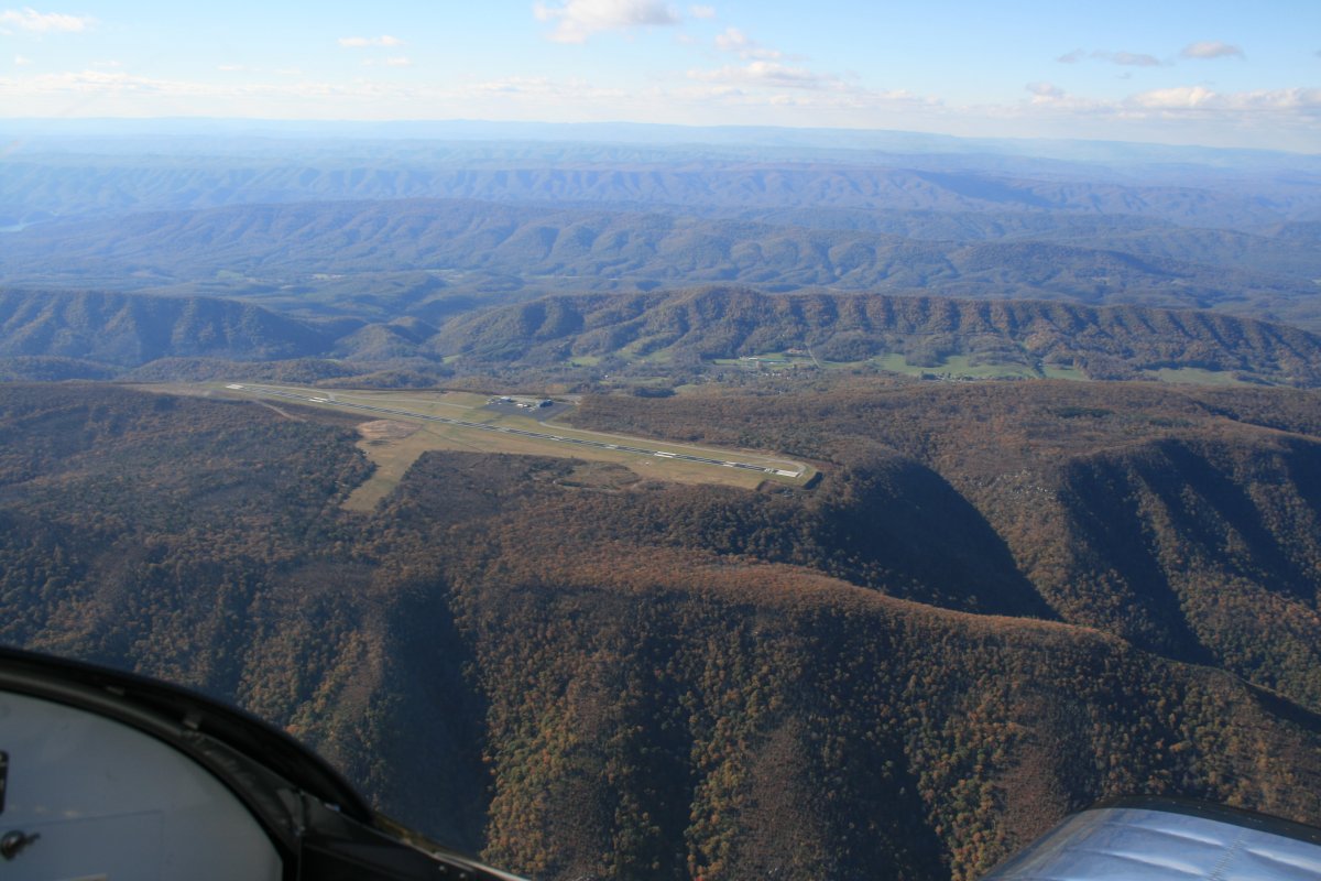
Approaching Ingalls Field.
|
| |
 |
|
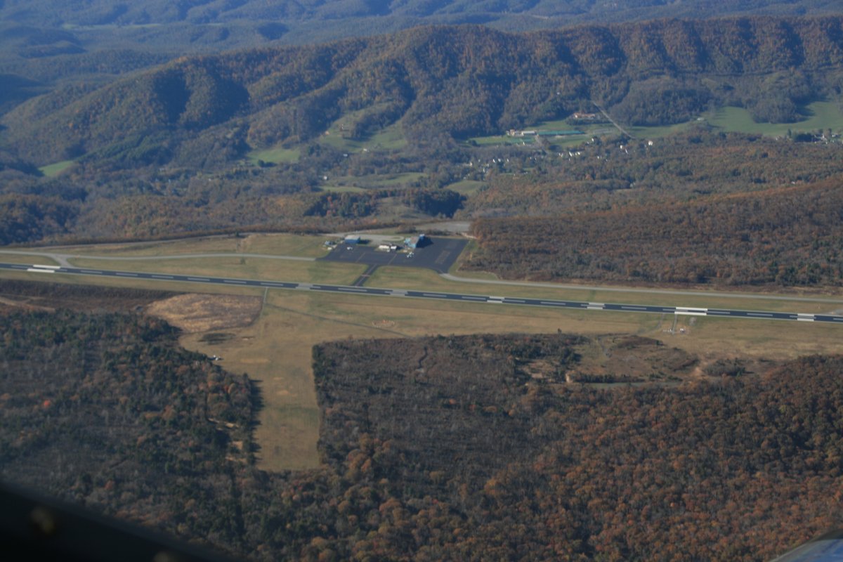
| A close-up. You can see the little town of Hot Springs down in the valley on the other side. |
| |
 |
|
| I got bored up high so I descended to fly the ridges. But after my head got slammed into the canopy on a big turbulant bump I decided to give up on that and climbed back to altitude. |
| |
 |
|
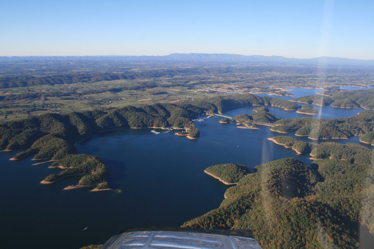
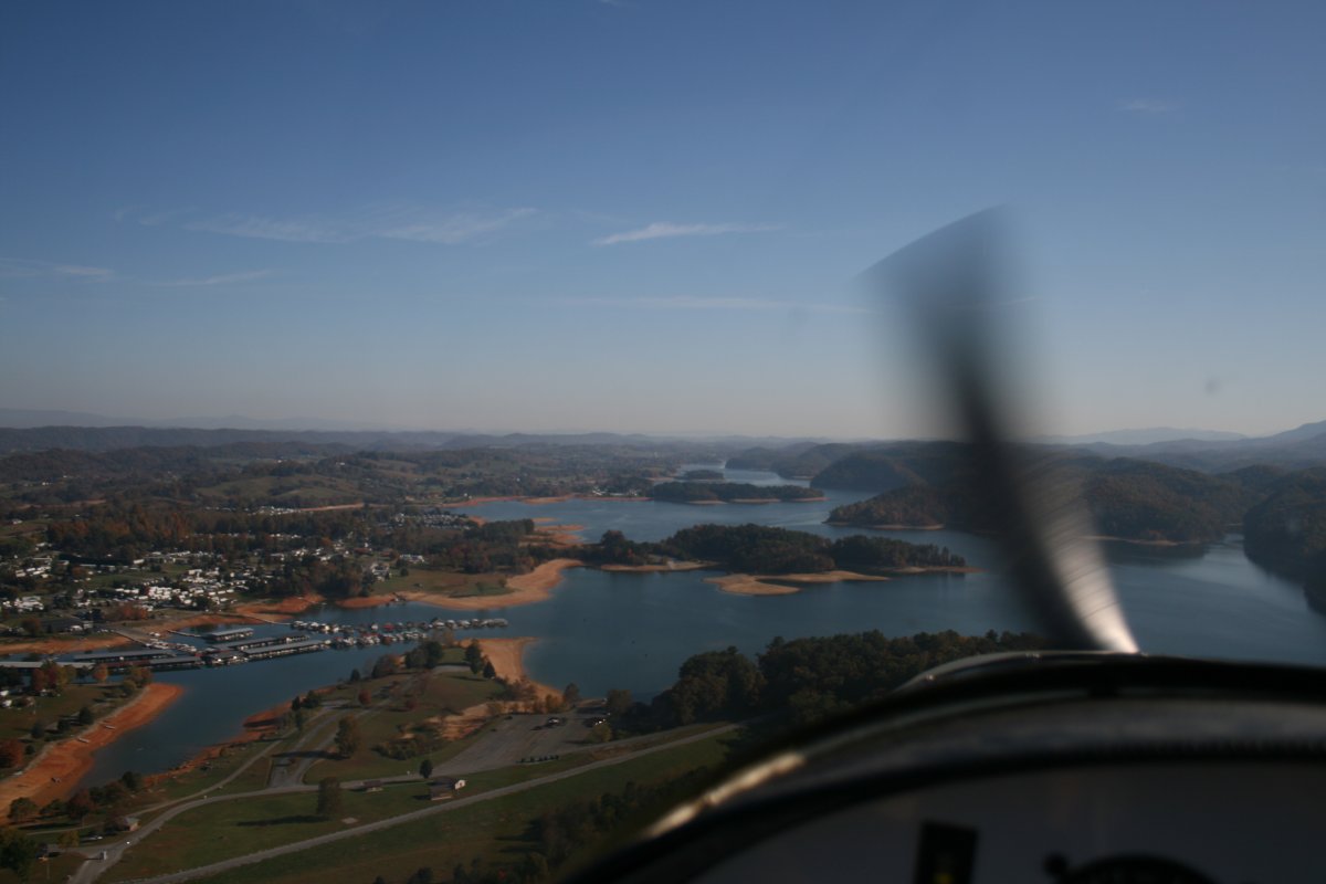
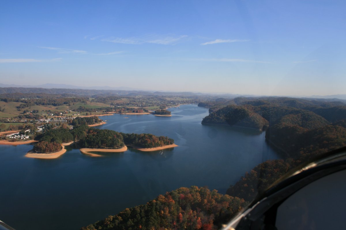
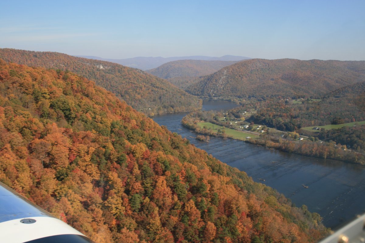
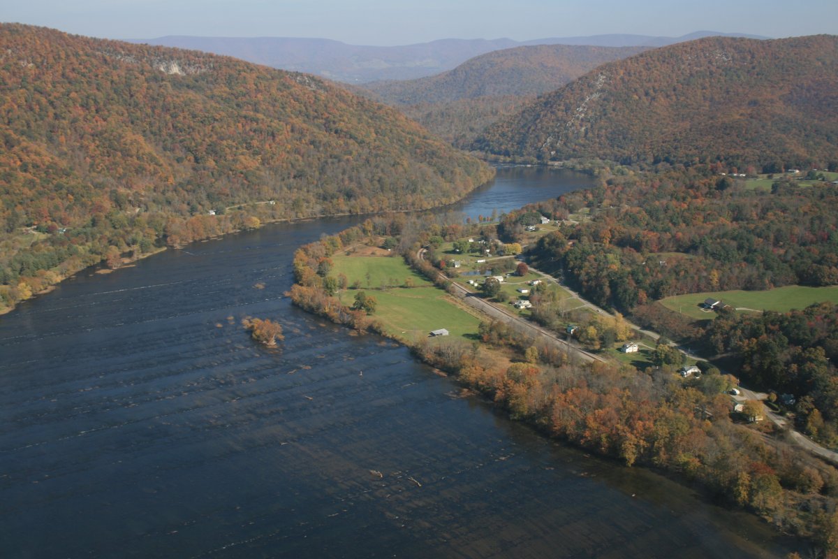
| Once over South Holston Lake, I knew I was almost there. |
| |
 |
|
|
Descending into Johnson City, I was below the ridge that parallels my track. The leaves were starting to turn on the ridge top.
|
| |
 |
|
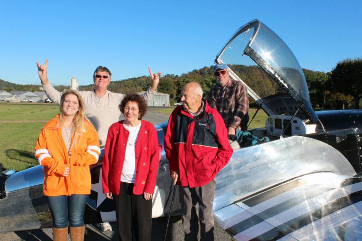
| Safe on deck at Johnson City Airport with my parents, sister Susan, brother-in-law Tony, and Tony's daughter Elizabeth. |
| |
 |
|
|
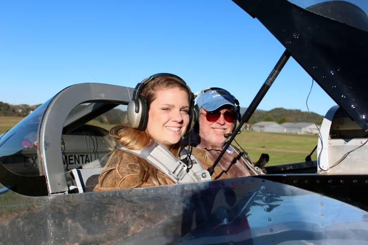
I gave Elizabeth a quick ride int he RV.
|
| |
 |
|
| She had never been in a small plane before. |
| |
 |
|
| Passing overhead the airport. |
| |
 |
|
| |
|
Five days later I was back in the RV, heading north back to Essex Skypark. My plane was filthy. It was tied down outside all week and for some reason got really dirty.
Since I would be stopping at Mountain Empire airport 50 miles to the east northeast, I just stayed down low. The air was very smooth which made it really nice. Approaching South Holston Lake (again).
|
| |
 |
|
|
|
| |
 |
|
|
I enjoyed cruising over the Tennessee hills at 500 feet.
|
| |
 |
|
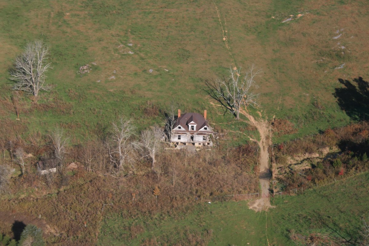
| An old, abandoned house. |
| |
 |
|
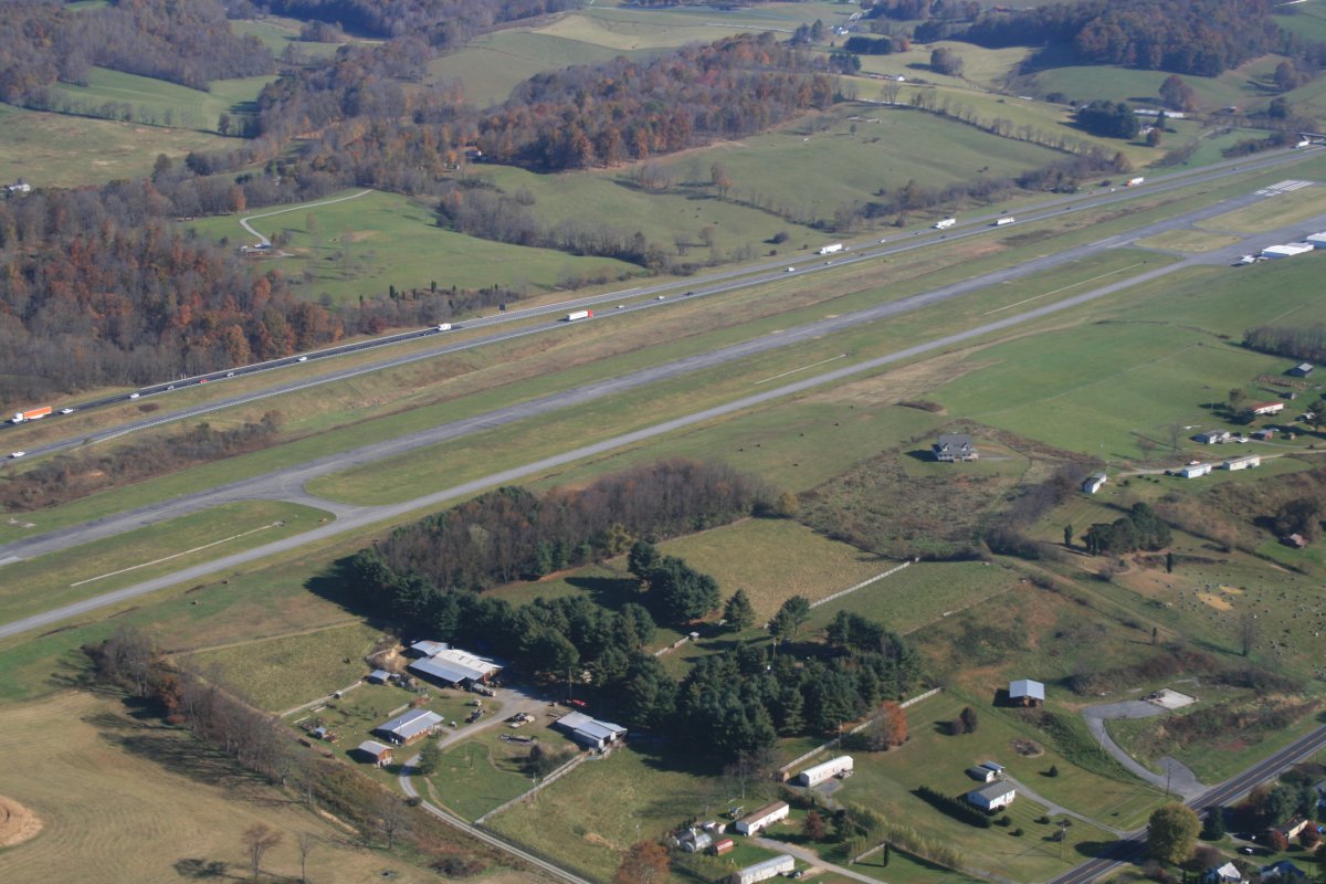
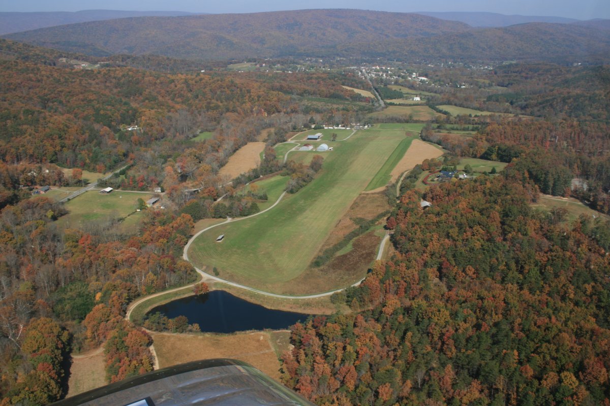
| Soon I came to Mountain Empire airport where I stopped for gas. It's the second time I've stopped here. I like the airport. They have a nice FBO terminal and the people are friendly. |
| |
 |
C |
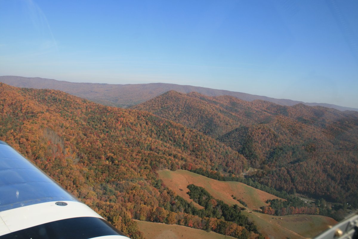
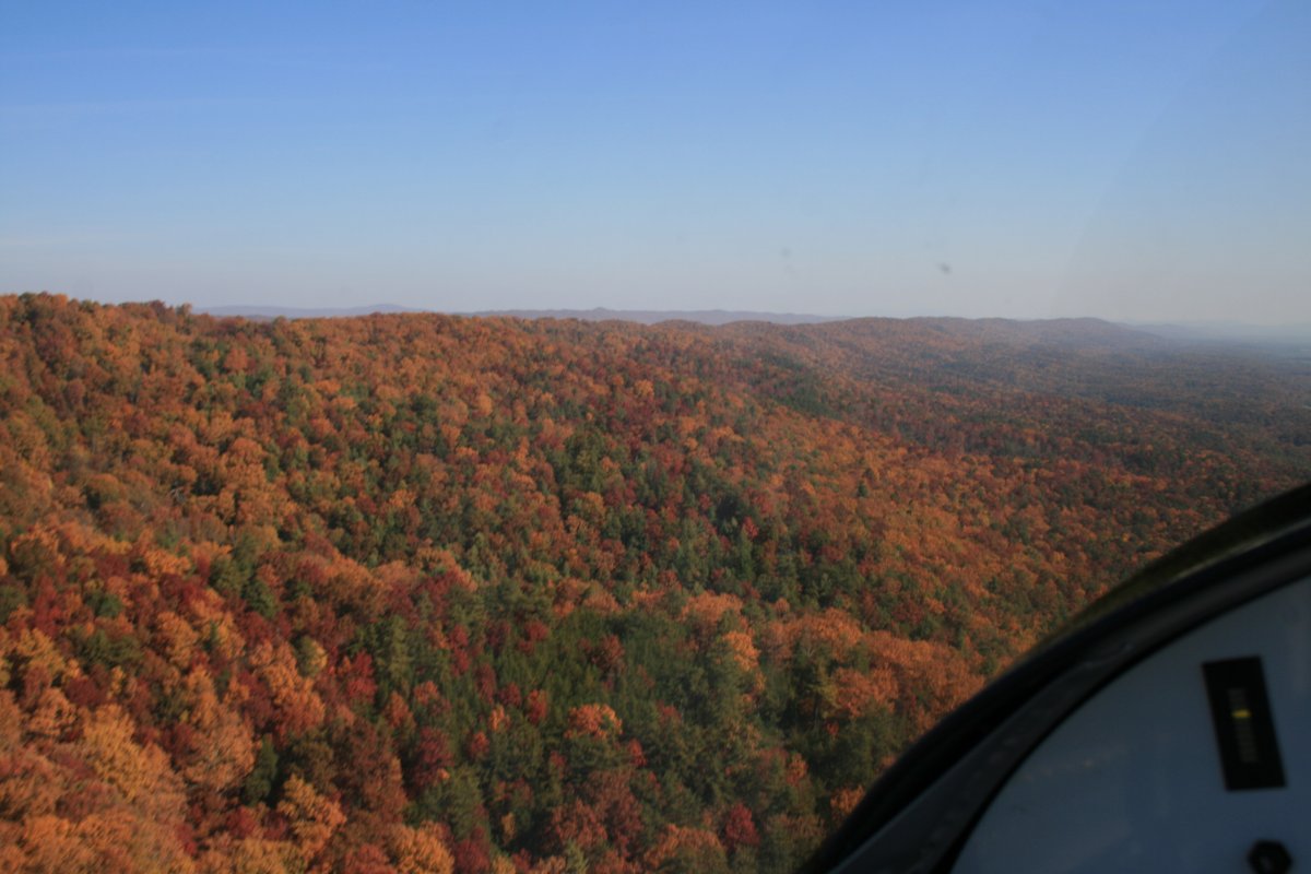
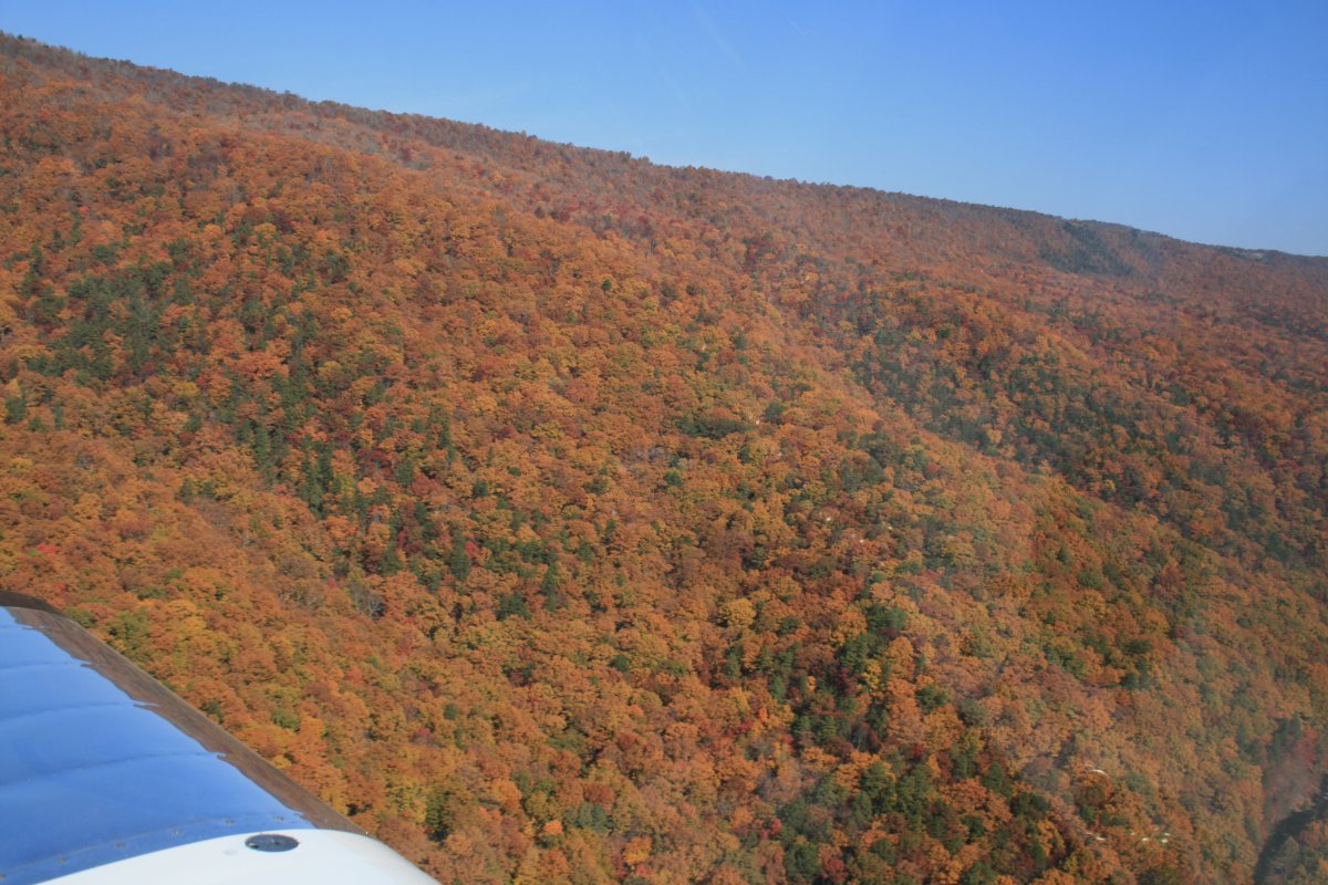
| Continuing on my way, the air was still smooth so I stayed down low. A ridge going in my direction had good color so I followed that. |
| |
 |
|
|
I was wearing my Serengetti rose-colored sunglasses which made the colors much more vivid than they are in this picture.
|
| |
 |
|
| Following the ridge east northeast. I had a flat valley off to the right with plenty of open space if need be. |
| |
 |
|
|
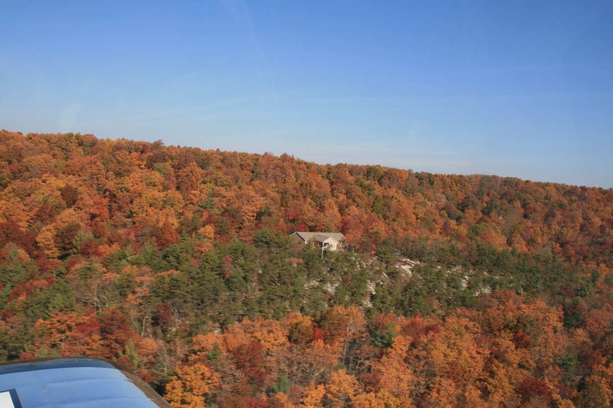
Boy, this guy has some view, doesn't he.
|
| |
 |
|
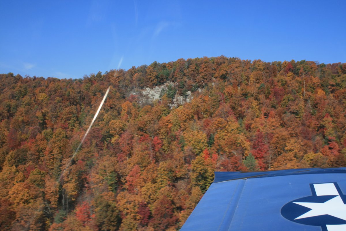
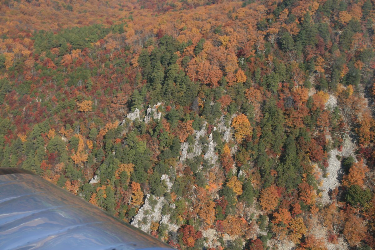
| There is rock under those pretty trees. |
| |
 |
|
| Soon I came to the New River which I explored a few months ago. Not today though. |
| |
 |
|
| |
| Looking down at the New River. |
| |
 |
|
|
The ridge is getting bigger and higher.
|
| |
 |
|
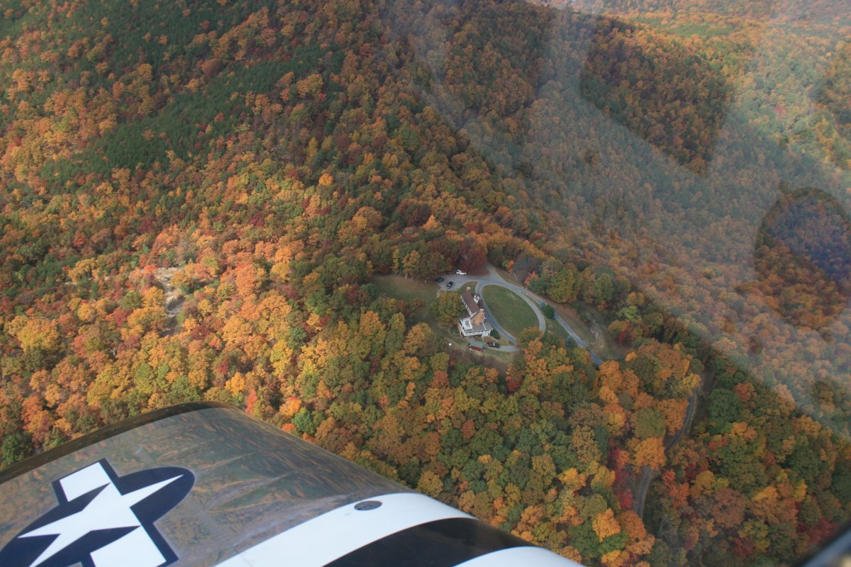
I passed by New Castle International Gliderport (VA85), home to the Blue Ridge Soaring Society. If I had more time, I would have been tempted to land at such a nice grass field. |
| |
 |
|
|
Flying along further, I came across a private paved runway in the middle of a tree-covered valley.
|
| |
 |
|
| Crossing what I believe is the James River, considerably smaller than where I usually cross it near Norfolk. |
| |
 |
|
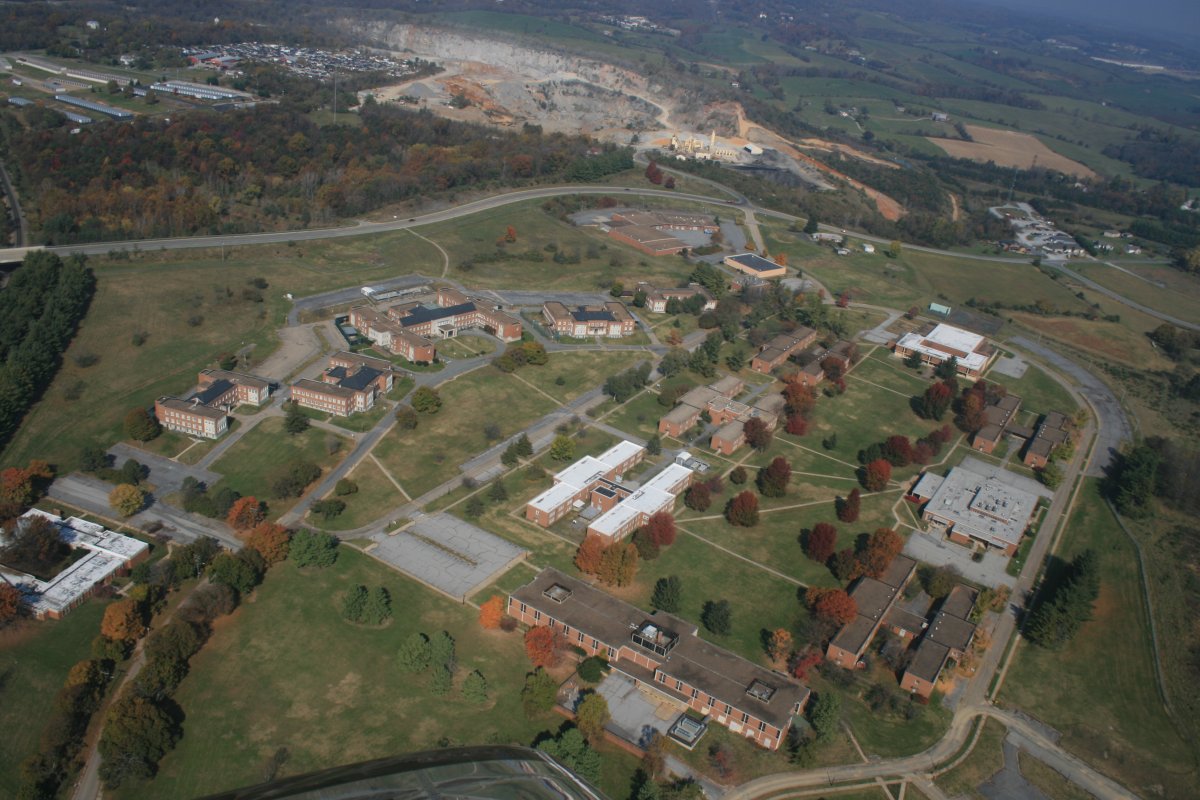
| I wondered what this abandoned complex was. Maybe an old prison? |
| |
 |
|
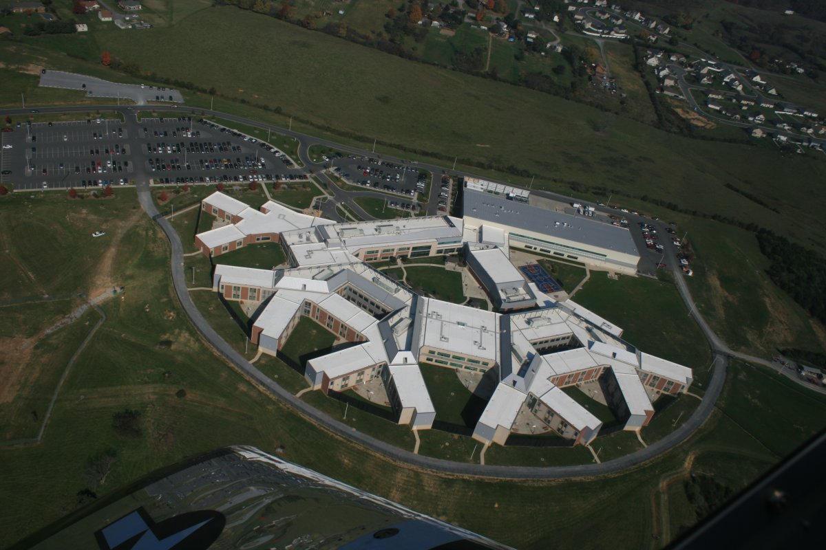
| My guess is this new prison compex nearby replaced it. |
| |
 |
|
|
Crossing Interstate 81. This is the highway I would be on if making this trip in the car.
|
| |
 |
|
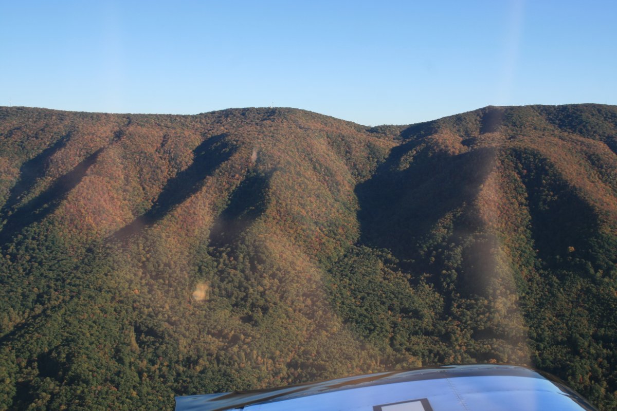
| Rocky Top. |
| |
 |
|
|
|
| |
 |
|
| House surrounded by woods. |
| |
 |
|
| There was a little weather at the top of the Shenandoah Valley. |
| |
 |
|
| |
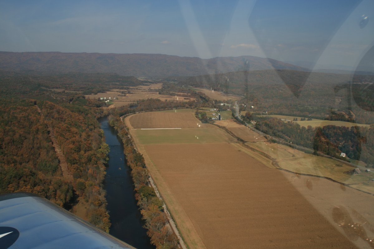
| But then suddenly everything cleared up. Before it had been hazy, although not too noticeable because I was low. But now it wasn't as hazy. Here the Shenandoah River winds through the valley. |
| |
 |
|
|
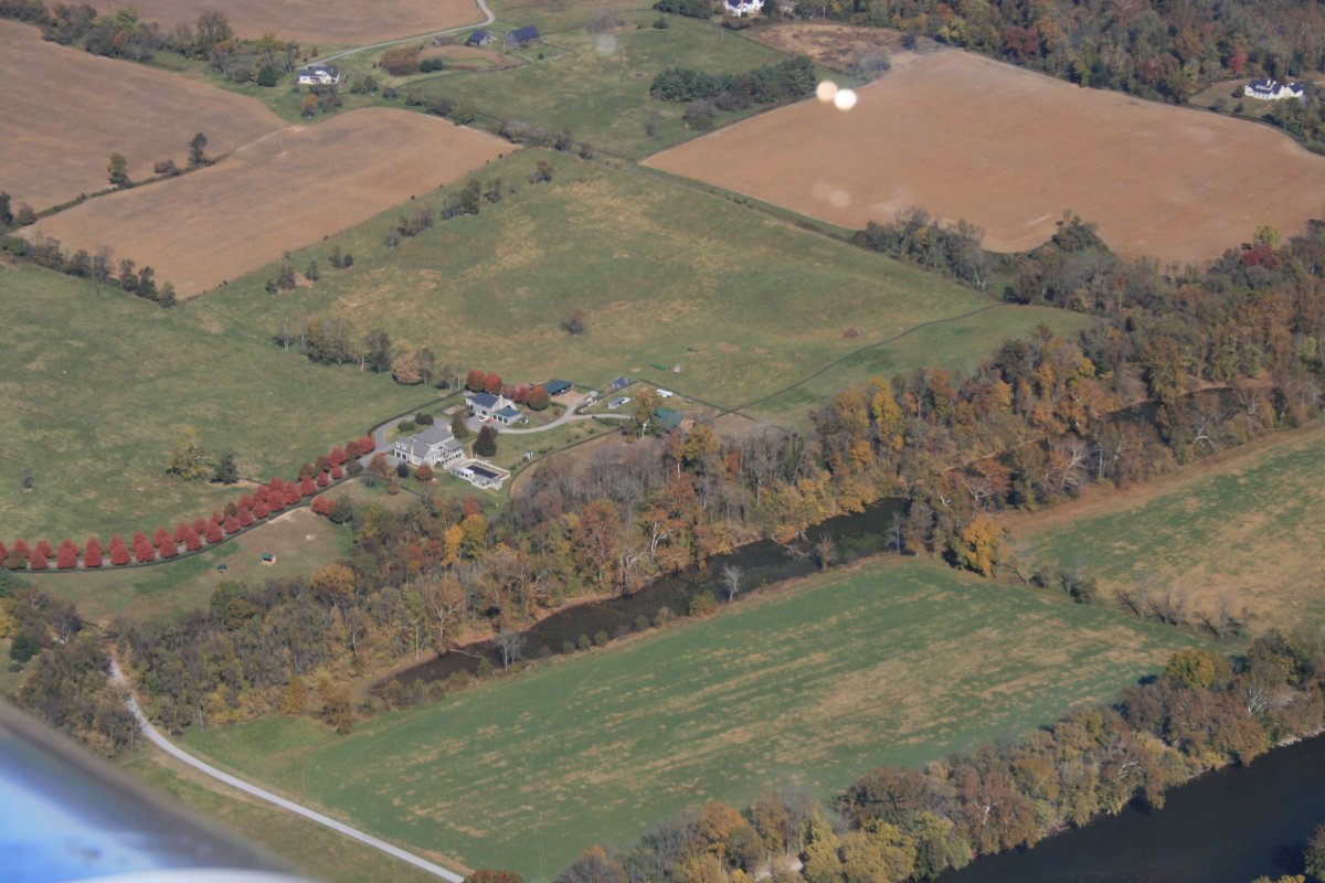
A nice house close to the river.
|
| |
 |
|
| |
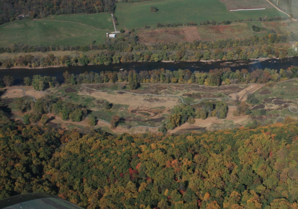
| I'm pretty sure this used to be a golf course along the river. But it is overgrown now. |
| |
 |
|
| |
| |
 |
|
| |
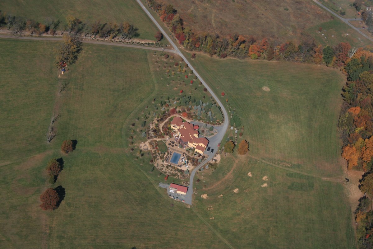
| This was the best house of the day. Estate, I should say. |
| |
 |
|
|
When I used to soar out of the Flying Cow airfield, there was a facility on top of the nearby ridge. But it looks like they have dismantled it.
|
| |
 |
|
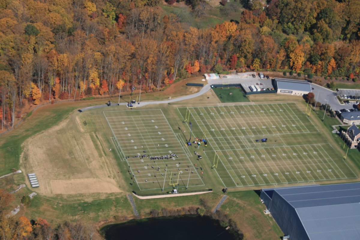
| I always pass by the Baltimore Ravens practice facility on my way back to Essex Skypark. But today they were out practicing! First time I've ever seen them outside. Unfortunately, they need to practice, since they currently have the worst record in the NFL. |
| |
 |
|
|
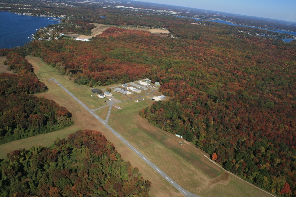
Overhead Essex Skypark. Trip complete.
|
| |
 |
|
| |
| |
|
|
|
|
|
|